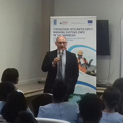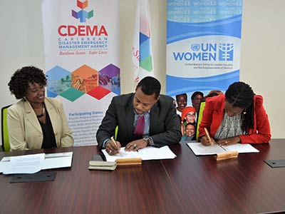
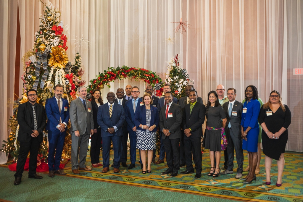
St. Michael, Barbados December 19th, 2018 (CDEMA) – Climate change, development and security issues require commitment to improving sustainable policy actions. Resilient development is not just about survival and bouncing back, but about being able to thrive. This was the focus of the panel discussion on ‘The Big Question: What are the Actions Required for a Resilient and Secure Caribbean?’ with regional policy makers, practitioners and the youth during the regional consultation on ‘Climate and Security in the Caribbean: A Roadmap to Resilience’, which was held at the Renaissance Convention Centre in Aruba on December 13, 2018.